Log in
All resources
Create a design
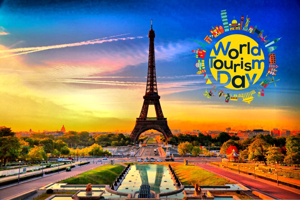
4,035 Free Images of World Map
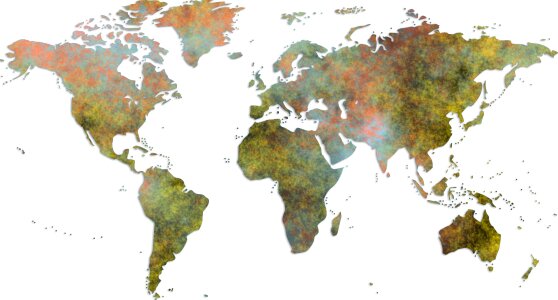
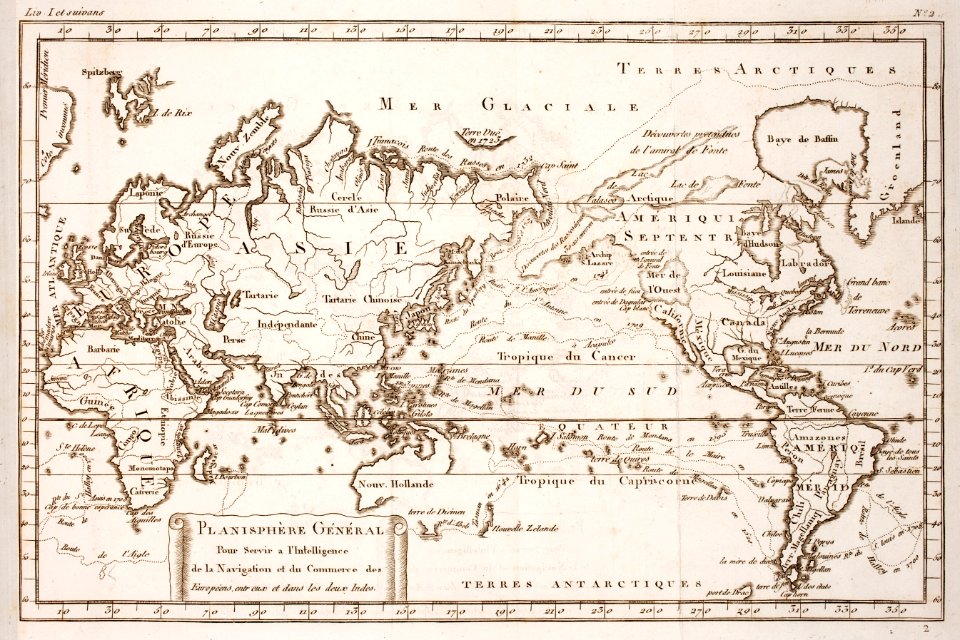
maps
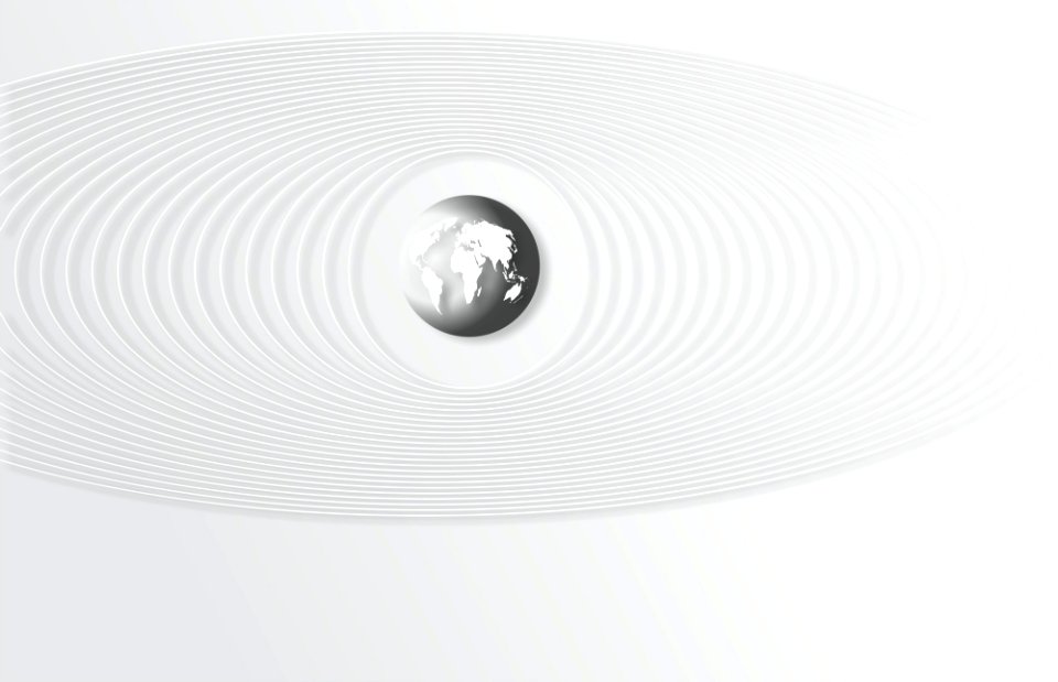
earth
history
globe
historical
planet
global
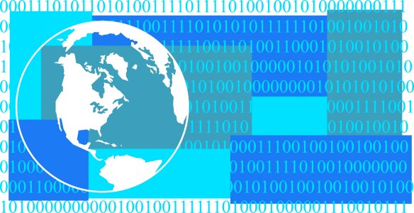
internet
communication
continent
mappe-monde geo-hydrographique (sanson and jaillot, 1674)
symbol
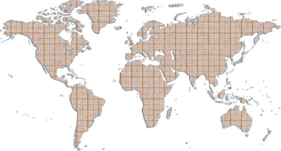
maps
historical
history
historical
history
historical
history
planet
maps
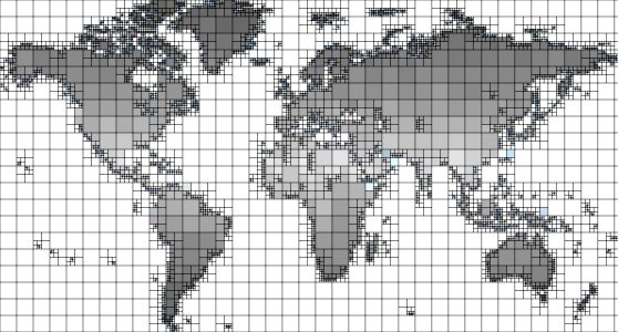
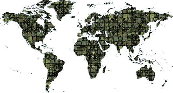
background
maps
historical
history
nelle presenti tre tavole sono descritte le marine secondo le carte da navicar et fra terra secondo i migliori scrittori antichi et moderni, con fumi, monti, laghi, mari, citta, provincie et capi principale... - btv1b8468487h
bibliothèque nationale de france
mathematics
laurel
nelle presenti tre tavole sono descritte le marine secondo le carte da navicar et fra terra secondo i migliori scrittori antichi et moderni, con fumi, monti, laghi, mari, citta, provincie et capi principale... - btv1b8468487h
bibliothèque nationale de france
nelle presenti tre tavole sono descritte le marine secondo le carte da navicar et fra terra secondo i migliori scrittori antichi et moderni, con fumi, monti, laghi, mari, citta, provincie et capi principale... - btv1b8468487h
bibliothèque nationale de france
business
maps
business
maps
historical
history
1740s maps of the americas
1747 maps of north america
carte de l'afrique françoise par guillaume delisle (1726)
philippe buache
maps of budapest by joris hoefnagel
joris hoefnagel
historical
history
historical
history
background
maps
bibliothèque nationale de france
johannes le francq van berkhey
bibliothèque nationale de france
tranquillo mollo
geography
geology
historical
history
book
sea
medals
book
historical
history
background
maps
water
maps
1670s maps of the ottoman empire
1679 maps
globe
maps
earth
maps
brochure
draft
drawings by patricq kroon in the rijksmuseum amsterdam
donation j. kroon
the plumb-pudding in danger (cartoon)
british cartoon prints collection
business
maps
business
maps
historical
history
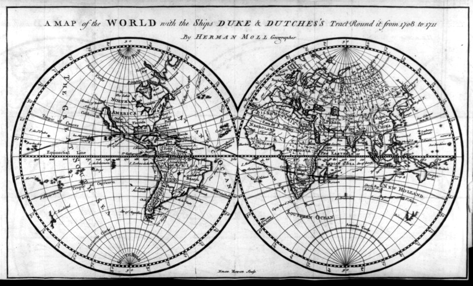
carte de moscovie by guillaume de l'isle (1706)
university of washington
historical
history
illustration
travel
illustration
maps
historical
history
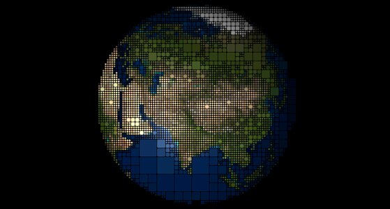
planet
maps
planet
maps
planet
maps
background
maps
background
maps
background
maps
planet
maps
planet
maps
africa
maps
historical
history
map of the bosphorus strait by guillaume sanson (1665)
bibliothèque nationale de france
historical
history
historical
history
historical
history
background
maps
children
maps
historical
history
background
maps
medical
icons
prints by cornelis danckerts (i) in the rijksmuseum amsterdam
prints by dancker danckerts in the rijksmuseum amsterdam
historical
history
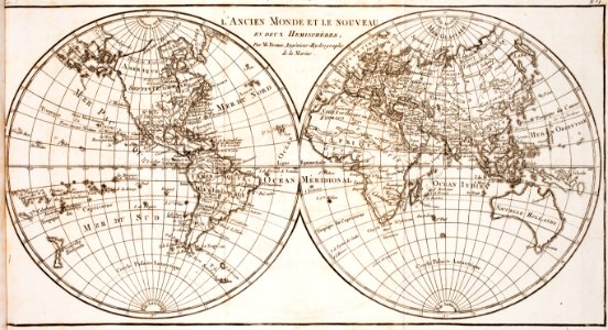
maps by willem and johannes blaeu
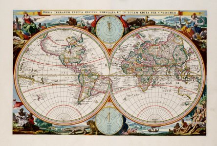
17th-century maps of the world
planet
maps
illustration
maps
newgate prison, dublin
1794 fleurons
map of europe by guillaume delisle (1700)
university of washington
brochure
draft
medical
hawaii
historical
history
background
maps
illustration
maps
planet
earth
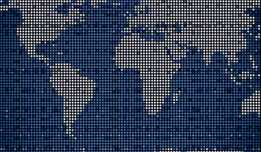
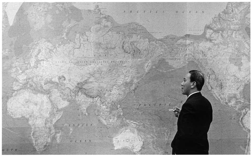
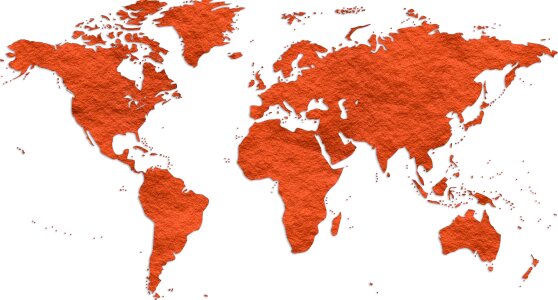
world map
history
history
project
symbol
maps
brochure
draft
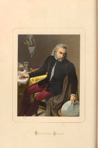
claude auguste berey
henri liébaux
water
maps
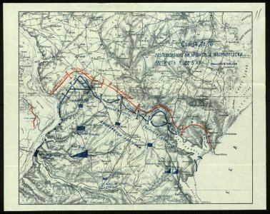
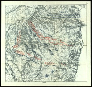
military cartographic institute (prague)
jiří čermák
building
maps
the plumb-pudding in danger (cartoon)
caricatures of uniforms
woodcuts in the rijksmuseum amsterdam
formerly attributed to dirck de bray
prints by william hogarth in the british museum
realism
prints by william hogarth in the british museum
realism
prints by william hogarth in the british museum
realism
prints by william hogarth in the british museum
realism
history
travel
continent
earth
brochure
draft
history
maps
feldpostbriefe von hans
voyage dans la russie méridionale et la crimée (1840-1842) par anatolii nikolaevich demidov
library of congress
illustration
maps
background
travel
prints by william hogarth in the british museum
realism
prints by william hogarth in the british museum
realism
3701 - 3800 of 4,035
Next page
/ 41


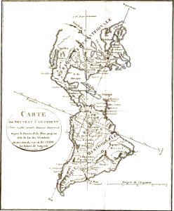


![Map of Thrace to aid in understanding Roman history / by Henri Liébaux, geographer; C[laude] A[uguste] De Berey, sculp[sit], Claude Auguste Berey, 1727](https://cdn.creazilla.com/illustrations/10001256073/map-of-thrace-to-aid-in-understanding-roman-history-by-henri-libaux-geographer-claude-auguste-de-berey-sculpsit-claude-auguste-berey-1727-md.jpg)